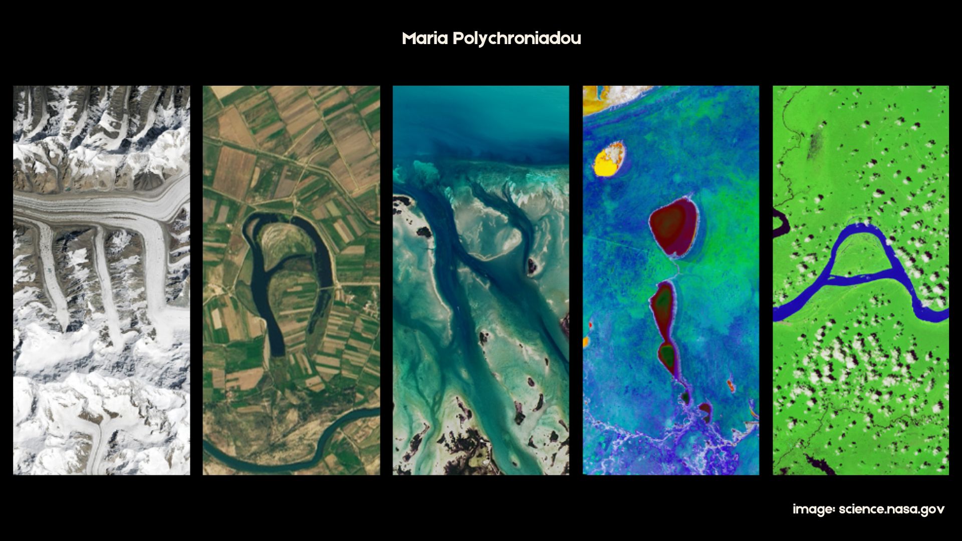
Maria Polychroniadou

GIS | Remote Sensing

MSc student in Geography & Applied Geoinformatics at the University of the Aegean, specializing in remote sensing, deep learning, and heritage conservation. My thesis focuses on automated damage detection at heritage monuments using CNNs and UAV data. I have a BA in Heritage Management and experience in archaeological fieldwork and research.

Technical Stack
ArcGIS Pro QGIS Python Agisoft Metashape CloudCompare UAV (RGB / LiDAR / Thermal) Satellite imagery MATLAB
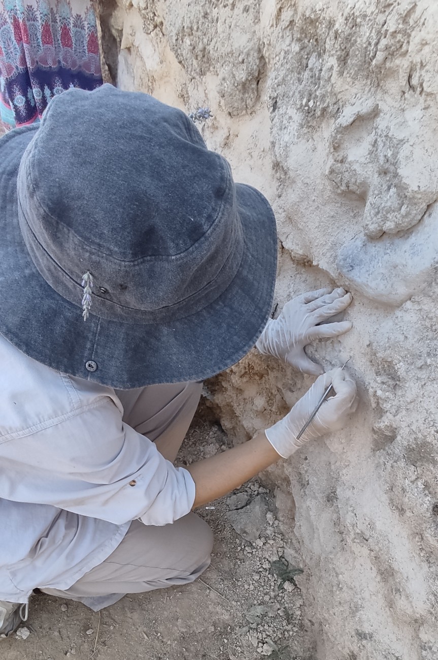
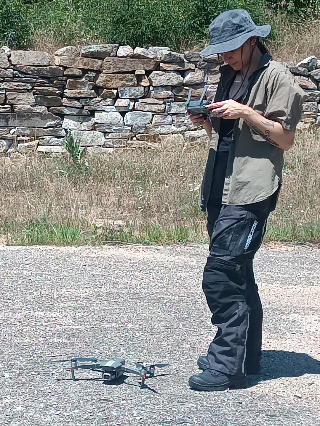
Archaeological fieldwork UAV operations

Projects

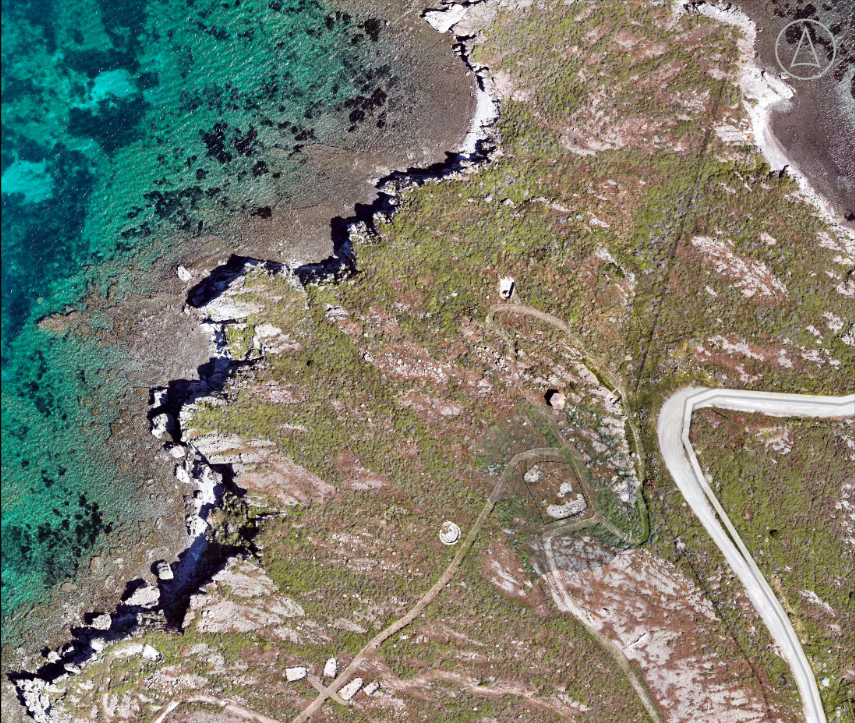
orthophoto
Geoheritage Mapping

Geoheritage Mapping

Multi-scale UAV Photogrammetry & LiDAR Mapping of Plaka Park, Lesvos Petrified Forest Geopark

Tools: DJI Mavic 3E • Zenmuse L1 LiDAR • Agisoft Metashape • CloudCompare • QGIS

View on GitHub →
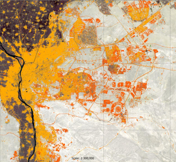
binary classification map
Cairo Urban Expansion 2015-2025

Cairo Urban Expansion 2015–2025

Decadal urban change detection from Sentinel-2 multi-spectral imagery using a vectorized Artificial Neural Network

Tools: Sentinel-2 • MATLAB (Pattern Recognition ANN) • ArcGIS pro

View on GitHub →
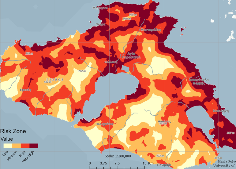
wildfire risk map
Wildfire Risk Mapping

Wildfire Risk Mapping

Spatial logistic regression modeling to predict wildfire ignition susceptibility across Lesvos Island

Tools: ArcGIS Pro (Spatial Analyst) • Python (`arcpy`) • SPSS

View on GitHub →

Contact

Email: polychroniadou@icloud.com

Thessaloniki, Greece (GMT +2)

View my CV